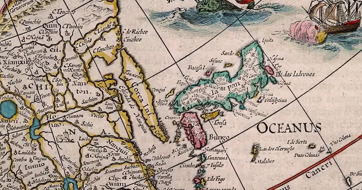
The Osher Map Library at the University of Southern Maine in Portland preserves a vast collection of half a million rare maps, globes, and atlases, some dating back to the 15th century. The collection offers a unique perspective on how cartographers of different eras depicted the world.
Correspondent Martha Teichner highlighted the library’s extensive holdings and how these historical documents reveal the changing ways the world has been visualized. The maps range from whimsical to political, and some intentionally distort geography to reflect contemporary beliefs or agendas.
Despite advances in modern navigation technologies like GPS, these old maps remain relevant by illustrating historical worldviews and the evolution of geographic knowledge. They serve as cultural artifacts offering insight into exploration, colonization, and political dynamics over centuries.
Why it matters
Old maps provide valuable context for understanding historical events and shifts in global power. By examining these artifacts, scholars and the public can gain insight into how past societies perceived themselves and others, shaped their identities, and influenced geopolitical boundaries.
Background
The Osher Map Library, one of the largest and most comprehensive collections of its kind in the Western Hemisphere, supports academic research and public education. Its archives document the evolution of cartography and mapmaking from the early Renaissance through modern times, preserving a diverse array of global perspectives.
Sources
This article is based on reporting and publicly available information from the following source:
Read more Science Discoveries stories on Goka World News.