Jabal al Fāyah in the United Arab Emirates stands as a geological and archaeological landmark that illuminates both the region’s ancient marine origins and its significance as an early human habitat. Once submerged under a shallow sea, this limestone ridge now rises above the desert near Dubai, preserving layers of Earth’s deep past alongside evidence of modern human survival tens of thousands of years ago.
What Happened
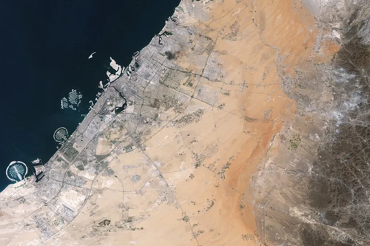
New satellite imagery from NASA’s Landsat 8 mission captured Jabal al Fāyah’s distinctive ridges crossing the northern UAE, highlighting their geological formation from ancient marine sediments. Concurrently, archaeological research within this region has uncovered Middle Paleolithic sites where stone tools and fossils date human occupation back between 210,000 and 120,000 years, marking some of the earliest known modern human presence on the Arabian Peninsula.
Key Facts
- Jabal al Fāyah rises 412 meters above sea level on the edge of the Rub’ al Khali desert, composed primarily of marine limestone deposited during the late Cretaceous to Paleocene periods.
- Nearby Samail Ophiolite rocks represent some of the world’s most accessible ancient oceanic lithosphere, formed through a rare tectonic obduction process.
- The site contains fossil-rich limestone with coral and marine invertebrates, including the Fossil Rock area abundant in snail, clam, and sea urchin remains.
- Dozens of archaeological sites indicate intermittent human occupation during the Middle Paleolithic era, yielding stone tools and evidence of early Homo sapiens adapting to harsh desert conditions.
- Geological evidence suggests periodic lakes east of the ridge, providing critical resources such as water and food facilitating human habitation.
- The site was inscribed as a UNESCO World Heritage Site in 2025 in recognition of its cultural and scientific importance.
Why It Matters
Jabal al Fāyah provides a unique window into the natural history of the Arabian Peninsula, revealing its transformation from an ancient seabed to a desert landscape inhabited by early humans. The archaeological findings challenge and refine understanding of human migration routes out of Africa and their adaptation strategies in arid environments.
Background
The limestone ridges at Jabal al Fāyah formed over millions of years from sediment deposited in warm, shallow oceans. The presence of the Samail Ophiolite nearby reveals tectonic activity that preserved oceanic crust on land, an uncommon geological phenomenon. Archaeologically, the site coincides with a critical period when anatomically modern humans first expanded beyond Africa, overlapping with Neanderthal populations in other regions.
Analysis
The combination of geological and archaeological data at Jabal al Fāyah offers a comprehensive view of early human environmental challenges. The intermittent presence of fresh water in the desert and natural shelters along the ridges likely supported sustained human occupation despite the arid climate. Stone tool assemblages suggest complex behaviors and survival techniques aligned with the broader narrative of Middle Paleolithic humans adapting globally to diverse landscapes.
Who Is Affected
This knowledge impacts the scientific community across archaeology, geology, and paleoanthropology, enhancing models of human dispersal and environmental change. It also influences cultural heritage policies in the UAE, promoting conservation and education regarding the region’s prehistoric significance.
Reactions / Official Statements
This information was not confirmed in the reviewed sources.
What Remains Unclear
Exact migration routes of early humans through the Arabian Peninsula and the full extent of their occupation remain subjects of ongoing research. The detailed chronology of climatic conditions affecting the lakes and habitability in the region also requires further investigation.
What Comes Next
Future research will likely focus on expanded archaeological excavations to uncover more tools and fossils, refined dating techniques for the sites, and enhanced satellite mapping to better understand geological and environmental changes over time. Preservation efforts under UNESCO’s guidance will aim to maintain the site’s integrity for scientific study and public education.
Sources
This article is based on reporting and publicly available information from the following source:
Read more Science Discoveries stories on Goka World News.