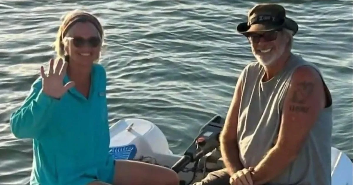
Brian Hooker distributed images of maps to friends and other boaters that he claimed pinpoint the location where his wife, Lynette Hooker, went missing in the Bahamas last week. These maps, shared with CBS News by the recipients, were intended to assist in understanding the circumstances of Lynette’s disappearance.
The maps show detailed geographic points in the waters around the Bahamas, which Brian Hooker asserted as relevant to the events leading to Lynette Hooker’s vanishing. The precise coordinates or landmarks on the maps have not been publicly disclosed.
Friends who received the maps provided copies to CBS News, contributing to ongoing public awareness and investigation efforts. The distribution of these images indicates an active search and attempt to gather information from those familiar with the Bahamian waterways.
Why it matters
The sharing of these maps could enhance efforts to locate Lynette Hooker by providing explicit locations to aid search parties and local authorities. Public exposure of the maps may also bring forward additional witnesses or boaters who frequent the indicated areas, potentially offering new information in a critical phase of the missing person investigation.
Background
Lynette Hooker went missing in the Bahamas in an incident reported last week. Her disappearance has drawn significant attention, prompting personal and public search efforts. Brian Hooker’s involvement includes disseminating geographical information he believes is connected to her disappearance, aiming to support the ongoing investigation and search operations in the Bahamas.
Read more World News stories on Goka World News.