Researchers from MIT and the University of Pennsylvania have developed an open-source trajectory-planning system, called MIGHTY, that allows unmanned aerial vehicles (UAVs) to navigate complex environments more quickly and safely by reacting to obstacles in real time. The system runs entirely on the drone’s onboard computer and sensors without requiring costly proprietary software.
MIGHTY addresses a critical challenge for autonomous drones operating in dynamic environments, such as collapsed buildings after earthquakes, where the ability to rapidly adjust flight paths is essential. Unlike traditional planners that fix the travel time and then calculate a path, MIGHTY simultaneously optimizes both the flight path and travel time in a single step using a mathematical technique called a Hermite spline. This joint optimization produces smoother trajectories and better control dynamics.
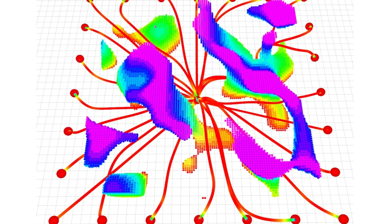
To handle the increased computational complexity from optimizing spatial and temporal components together, the system generates an initial trajectory guess and refines it iteratively based on real-time lidar sensor data from the UAV. This approach enables the drone to respond within milliseconds to unexpected obstacles while minimizing travel time.
Testing in simulation showed that MIGHTY required approximately 90 percent of the computation time of leading commercial methods while safely reaching destinations around 15 percent faster. Physical drone tests demonstrated speeds up to 6.7 meters per second with complete obstacle avoidance. The entire system functions autonomously onboard without connection to external software.
Why it matters
MIGHTY’s open-source nature and elimination of expensive software dependencies lower barriers for widespread adoption in applications requiring agile UAV navigation. Potential uses include search-and-rescue missions in hazardous areas, urban delivery where drones must avoid buildings and people, and industrial inspections of complex infrastructure like wind turbines. Enabling real-time trajectory planning with minimal onboard resources enhances reliability and operational range for autonomous flight.
Background
The need for improved autonomous navigation was a motivating factor for lead author Kota Kondo, inspired by his experience during the Fukushima Daiichi nuclear accident, where autonomous robots could reduce human exposure in dangerous environments. Traditional trajectory planners often force trade-offs between computational speed and path quality, limiting drone performance. MIGHTY’s integrated optimization approach, combined with open-source accessibility, offers a new standard for real-time UAV navigation systems.
The research was supported in part by the U.S. Army Research Laboratory and Singapore’s Defense Science and Technology Agency and is detailed in IEEE Robotics and Automation Letters. The development team includes Kondo and Professor Jonathan P. How from MIT, as well as collaborators from the University of Pennsylvania.
Sources
This article is based on reporting and publicly available information from the following source:
Read more Science & Technology stories on Goka World News.