NASA will conduct a series of research flights near Houston from June 3 to June 13, using five aircraft equipped with scientific instruments to study atmospheric and environmental processes. These operations will include low-altitude maneuvers over the Houston area, providing data for ongoing Earth science research.
What happened
The flights support NASA’s Student Airborne Research Program (SARP), an eight-week summer internship providing undergraduate students with hands-on experience in airborne field research and data analysis. The mission will take place out of Ellington Field near Houston, with some flight paths extending over the Gulf of Mexico.
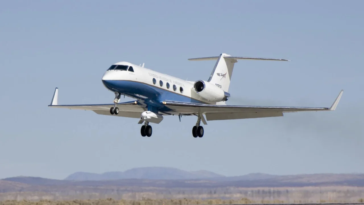
The operations primarily involve NASA’s Gulfstream V (N95NA), Gulfstream C-20A (N802NA), Gulfstream III (N520NA), and NOAA’s WP-3D Orion (N43RF), as well as a King Air B200 (N46L) contracted through Dynamic Aviation. Notably, NOAA’s WP-3D Orion will conduct maneuvers at altitudes as low as 1,000 feet above ground level.
Flights will follow raster patterns—parallel back-and-forth lines—allowing remote sensing instruments such as lidars, synthetic-aperture radar, imaging spectrometers, and atmospheric spectrometers to map gas movements, particle content, and environmental changes near the coast and surrounding land and water.
Why it matters
This research advances understanding of the lower atmosphere’s composition and dynamics, especially near coastal areas prone to environmental changes and human impact. The data collected will aid scientists in analyzing natural processes affecting air quality, weather, and climate patterns.
The involvement of undergraduate students through SARP also builds critical skills in Earth science, airborne observation techniques, and remote sensing technology, contributing to workforce development in the geosciences and aerospace fields.
Background
The WP-3D Orion is a NOAA hurricane hunter aircraft widely used in atmospheric research, equipped with extensive radar and sensor arrays for both in-flight and remote sensing measurements. NASA’s Airborne Science Program routinely employs specially equipped aircraft to collect high-resolution data for Earth system science.
The Student Airborne Research Program connects students with NASA’s airborne laboratories to foster practical experience in atmospheric and environmental research, enhancing education and research partnerships.
The flights during this mission can be tracked in real time via the NASA Airborne Science Program Tracker, providing transparency and public engagement with NASA’s scientific activities.
Sources
This article is based on reporting and publicly available information from the following source:
Read more Space & NASA stories on Goka World News.