
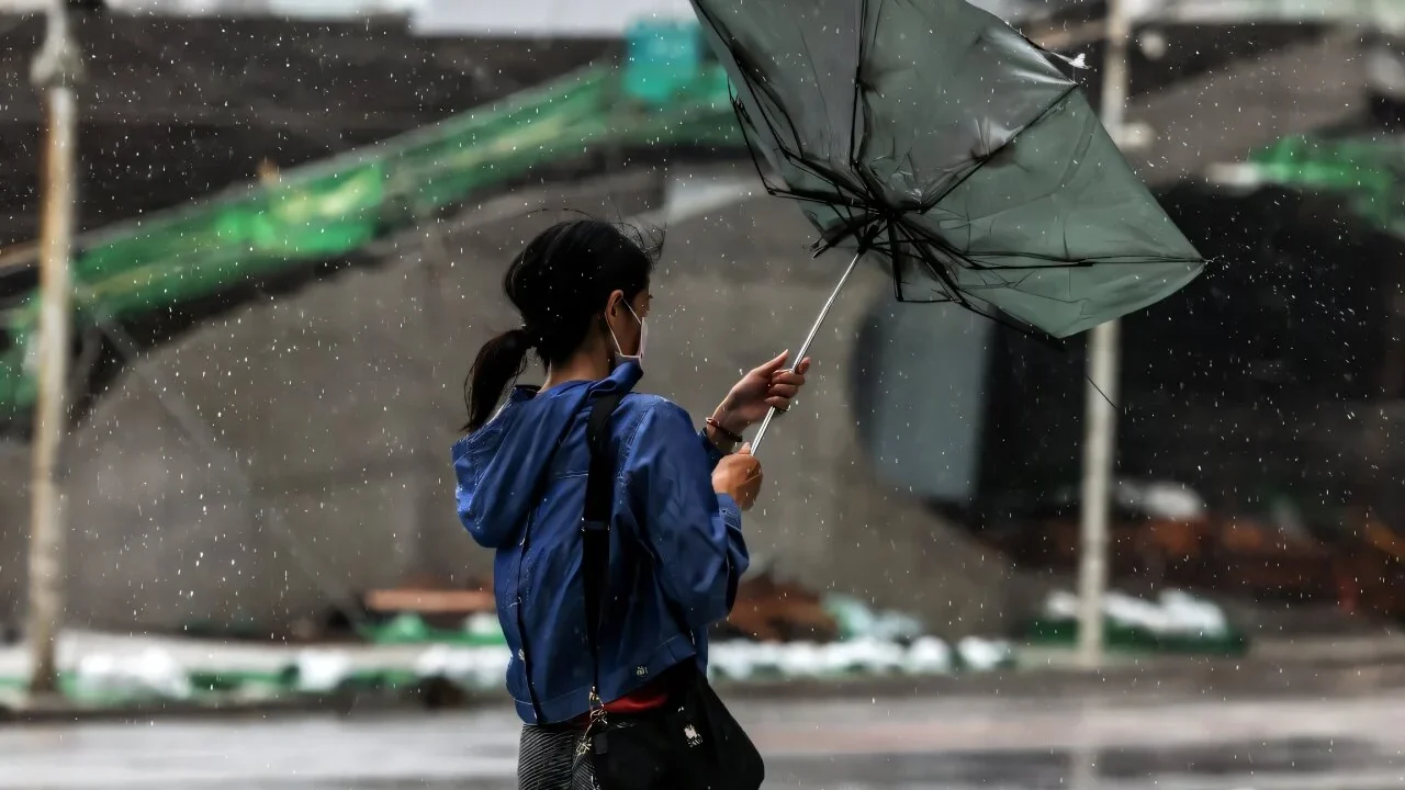
Typhoon Bavi made landfall in eastern China late Saturday as a strong typhoon, bringing heavy rain and winds of up to 144 kilometers per hour before weakening to a severe tropical storm on Sunday. The event triggered large-scale evacuations affecting nearly 2 million people and caused widespread disruptions across coastal regions. Meteorological agencies forecast further heavy rain and flooding risks as the storm moved inland.
What Happened
On July 11, 2026, Typhoon Bavi first hit Zhejiang province in eastern China around 11:20 p.m. local time (1520 GMT) with wind speeds reaching 144 kilometers per hour (90 miles per hour), according to the provincial meteorological observatory and the state news agency Xinhua. The storm struck the city of Yuhuan with fierce winds and heavy rainfall, uprooting roadside trees and creating rapid water runoff. By 5 a.m. the following day, the China Weather Administration reported that Bavi’s intensity had weakened to severe tropical storm level with wind speeds near 108 kilometers per hour (67 mph) as the storm approached the commercial hub of Yiwu.
Authorities suspended transport, work, and school activities ahead of the landfall, canceling more than 400 flights and dozens of train services in Zhejiang province. Additionally, over 1.7 million residents were evacuated to safe locations. Similar precautionary evacuations occurred in Beijing, Fujian, and Shanghai to manage flooding and mitigate damages caused by heavy rains and potential flash floods. Across northern Taiwan and Japan’s southwestern islands, Bavi had already caused power outages and fallen trees in the days prior.
Key Facts
Typhoon Bavi’s landfall in China was characterized by winds reaching 144 km/h at peak intensity and later weakening to 108 km/h. As of Saturday morning, approximately 1.72 million people had been evacuated in Zhejiang alone. The storm led to the suspension of over 400 flights and multiple train services, reflecting large-scale disruption. Other evacuated populations included more than 100,000 people in Beijing, over 130,000 in Fujian, and 34,000 in coastal and high-risk areas of Shanghai. Prior to reaching China, Bavi was classified as a super typhoon impacting Guam and the Northern Mariana Islands with significant strength.
The storm also affected northern Taiwan where over 170,000 households lost power, and Japan’s Miyako region suffered power outages due to strong winds and rain. Meteorologists noted the shrinking of Bavi’s strong-wind radius to 350 kilometers (217 miles), reducing potential impact relative to initial projections. The China Weather Administration highlighted the threat of torrential rain, flooding, and transport disruptions in affected areas.
What This Means
The downgrading of Bavi from a typhoon to a severe tropical storm upon landfall signifies a reduction in immediate wind hazard, but the heavy rainfall and flooding risks remain substantial. The massive evacuations and transportation shutdowns illustrate the ongoing challenges authorities face in safeguarding densely populated coastal and urban regions vulnerable to extreme weather. This event also highlights how warming ocean temperatures, influenced by broader climate trends such as El Niño and record hot sea surface temperatures, can intensify tropical storms, resulting in heightened rainfall and flooding potential. Communities across eastern China and nearby regions must therefore contend with compounded impacts from back-to-back weather events.
For residents and infrastructure, even a weakening storm can disrupt daily life significantly through power outages, flooding, and transport interruptions. The response efforts show increased preparedness but also emphasize the necessity for improved flood management and resilient urban planning to handle similar events in the future. Furthermore, the event underscores the importance of continuous meteorological monitoring and timely public warnings as storm dynamics evolve rapidly near landfall zones.
Background
Typhoon Bavi emerged in the Pacific Ocean, initially striking Guam and the Northern Mariana Islands as a super typhoon earlier in the week before progressing toward East Asia. The storm’s trajectory brought it near Taiwan and Japan’s southwestern islands, where it caused moderate disruptions like power outages. Prior to Bavi, southern and central China had already suffered severe weather over the previous week, with flooding from storms resulting in at least 39 deaths and breaches in river and reservoir infrastructure. Meteorological experts attribute part of the increased storm severity to elevated ocean temperatures recorded in June by the EU’s Copernicus Marine Service and the ongoing El Niño climate pattern, which typically boosts Pacific surface temperatures and moisture content.
What Comes Next
Chinese meteorologists expect Bavi to continue moving northwest inland, bringing further rainfall and wind impacts as it gradually loses strength. Authorities remain vigilant for flash floods and transport disruptions especially in Zhejiang, Fujian, and neighboring provinces. Ongoing monitoring of water discharge from reservoirs in Beijing and elsewhere aims to mitigate flood risk. The situation will be closely reviewed as it develops, with officials ready to respond to emergent hazards.
Sources
This article is based on reporting and publicly available information from the following source:
Read more World News stories on Goka World News.