
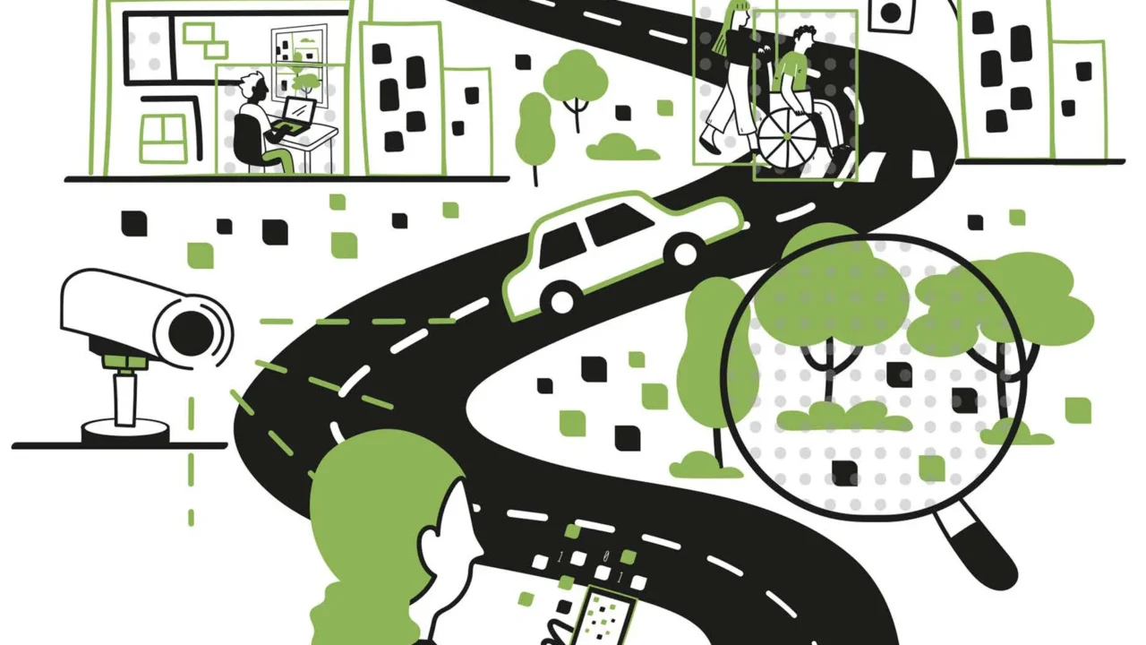
MIT’s Senseable City Lab has advanced the use of visual artificial intelligence (AI) to analyze and understand urban environments, leveraging machine learning techniques to extract data from vast arrays of images such as traffic cameras across New York City. Their research, recently compiled in the book How AI Sees the City: Urban Visual Intelligence, demonstrates AI’s capacity to assess traffic patterns, emissions, public space usage, and urban greenery on an unprecedented scale.
What Happened
The MIT Senseable City Lab, founded in 2004 and directed by Carlo Ratti, published findings underscoring how visual AI can transform urban studies by treating images as data sets for comprehensive city analysis. Their research involved analyzing feeds from 331 traffic cameras in New York City to identify vehicle types and estimate emissions tied to different automobiles. The team detailed these capabilities and wider urban applications in their Routledge book released this month, co-authored by researchers Fábio Duarte, Martina Mazzarello, Carlo Ratti, and Fan Zhang.
Key Facts
The laboratory’s methods include applying computer vision and machine learning on photographs and video streams to quantify urban features. For example, the study identified emissions using data from public cameras, enhancing the precision and scale of environmental monitoring. The book references historic urban visual studies by scholars such as Kevin Lynch and William H. Whyte, aligning AI’s potential with established urbanist traditions.
Other examined applications cover traffic flow analysis, identification of hazardous intersections, evaluation of urban greenery visibility from street-level views, and even styles in Airbnb interior designs examined across 400,000 listings worldwide. The authors highlight concerns around the proliferation of surveillance cameras—citing London’s 210 cameras per square mile versus Shanghai’s 5,000—and the risks of bias in AI models trained on majority populations, which can skew data interpretation for minority groups.
What This Means
The integration of visual AI into urban planning represents a significant leap forward in how cities can be monitored and improved. For residents, this means cities could soon leverage AI-driven insights to reduce emissions, streamline traffic, and enhance public space safety with data collected at scales and resolutions previously impossible. Urban planners and policymakers can target interventions more effectively by understanding human interactions with city environments in real time.
However, the widespread use of cameras and AI surveillance raises crucial questions about privacy and civil liberties, especially in jurisdictions with varying norms over monitoring. Public debate is already emerging around the legality and ethics of such data collection. Moreover, the potential for AI systems to encode and amplify social biases demands careful scrutiny in model training and deployment, as these biases can affect assessments of neighborhoods and populations, potentially influencing policy decisions unjustly.
By situating AI within a long history of visual urban analysis, the MIT team stresses that AI tools should serve human-centered design goals rather than supplant them. This viewpoint grounds AI’s technical capabilities within ethical and cultural frameworks, calling for critical and creative exploration of these technologies to realize their benefits while mitigating risks.
Background
The MIT Senseable City Lab has been a pioneer in leveraging data and technology to decode city dynamics since its founding in 2004. Its approach expands on traditional urban studies that utilized static visuals—such as maps and photographs—by now employing AI to process millions of images at scale. Influential urbanists like Kevin Lynch, who authored The Image of the City in 1960, laid foundations that the lab’s work extends through digital means. The lab’s previous projects included assessing environmental factors and urban mobility patterns, deepening the understanding of how urban form affects daily life.
What Remains Unclear
The reviewed sources do not specify the technical details or accuracy metrics of the AI models used, nor the extent to which data governance and privacy protections are implemented in city-level deployments. Additionally, how regulatory bodies might respond to expanded visual surveillance remains uncertain, as does the speed at which these AI methods might be integrated into official urban planning processes.
What Comes Next
The publication of How AI Sees the City sets the stage for wider academic and practical discussion around urban visual intelligence. It is likely that follow-up research from the MIT team and others will further quantify the societal impacts and technological refinements needed. Emerging debates in U.S. cities over traffic camera use, as noted by the authors, will serve as live test cases for visual AI policies and ethical considerations.
Sources
This article is based on reporting and publicly available information from the following sources:
Read more Artificial Intelligence stories on Goka World News.