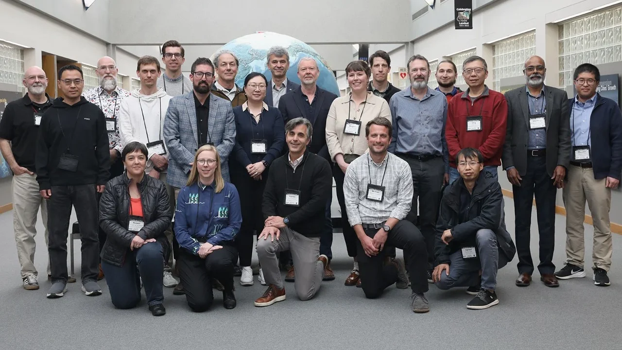
From May 5 to 7, the 2026–2030 Landsat Science Team held its first in-person meeting at the Earth Resources Observation and Science (EROS) Center in Sioux Falls, South Dakota, marking the start of collaborative planning for the program’s next five years.
What happened
The three-day meeting, co-moderated by Landsat 8, 9, and 10 Project Scientist Chris Neigh, gathered experts from the US Geological Survey (USGS), NASA, and international partners to review ongoing projects and set a strategic vision for future Earth observation efforts.
Participants received updates on the upcoming Landsat 10 mission, collaboration on Harmonized Landsat and Sentinel-2 (HLS) data products, and detailed plans for Collection 3 data processing improvements. The team also highlighted Landsat data’s broad applications across disciplines including snow cover mapping, atmospheric correction, water quality monitoring, evapotranspiration, agriculture, and volcanic activity.
During focused breakout sessions, experts formulated recommendations within four key technical areas:
- Surface reflectance: Priorities include enhanced topography and adjacency effect corrections, Bidirectional Reflectance Distribution Function (BRDF) adjustments, and improved cloud masking with consistent methods for HLS data. They recommended incorporating CMIX2 cloud masking and mapping out toolkit dependencies for user-applied corrections in Collection 3.
- Land surface temperature and emissivity: To maintain archive consistency, the team suggests either preserving native resolution or standardizing to 60 meters, with specific testing for volcanic studies. Recommendations include using ASTER GED/CAMEL emissivity datasets and preparing for Landsat 10’s five thermal bands with data comparisons from NASA’s ECOSTRESS instrument.
- Aquatic reflectance monitoring: Concerns were raised about Landsat 10’s planned 18-day revisit cycle, which may hinder tracking dynamic phenomena like harmful algal blooms. The group advocated for increased investment in validation infrastructure for inland waters coordinated with international Committee on Earth Observation Satellites (CEOS) efforts and cautioned against pixelwise algorithm switching to avoid data inconsistencies.
- Projection and tiling: The team endorsed the USGS pixel grid nesting strategy covering multiple spatial resolutions but called for further analysis to optimize pixel replication errors, storage costs, and integration with Sentinel-2 Next Generation. They recommended maintaining current Collection 2 grid systems if unresolved issues persist while refining Analysis Ready Data for U.S. regions.
These recommendations will guide data processing and mission planning for Landsat satellites through 2030, aiming to sustain high-quality, actionable Earth observation data globally.
Why it matters
The Landsat program is the longest-running enterprise for satellite-based Earth observation, playing a vital role in monitoring land use, climate change, and natural resources. This meeting sets the foundation for technical enhancements and mission strategies critical to ensuring that scientists, policymakers, and resource managers continue receiving consistent, reliable data over the next decade.
Addressing technical challenges such as cloud masking, data harmonization, and revisit frequency improves data usefulness for diverse applications including environmental monitoring, disaster response, and agricultural management.
Background
The Landsat program, managed jointly by USGS and NASA, has been providing continuous multispectral satellite data since 1972. The current Landsat 8 and 9 missions continue this legacy, with Landsat 10 scheduled for launch to begin the 2026–2030 operational period.
Harmonized Landsat and Sentinel-2 (HLS) products combine data from two satellite systems to enable improved temporal resolution and data consistency. The upcoming Collection 3 release aims to enhance data quality and analysis-ready products for the scientific community.
The Earth Resources Observation and Science (EROS) Center, based in Sioux Falls, South Dakota, serves as a primary facility for managing and distributing Landsat data.
Sources
This article is based on reporting and publicly available information from the following source:
Read more Space & NASA stories on Goka World News.