NASA and the U.S. Geological Survey (USGS) have released a draft Request for Proposal (DRFP) as of May 18, 2026, inviting contractors to bid on the design and construction of the Landsat 10 spacecraft, a critical platform for global Earth observation. The draft is available for review on SAM.gov, with comments accepted through June 2, 2026, and a final RFP expected by late June 2026.
What happened
The Landsat 10 DRFP outlines the full scope of work, including end-to-end spacecraft bus design and fabrication, observatory-level testing, simulator development, launch vehicle integration, and on-orbit commissioning. Contractors will also be responsible for integrating the government-provided Landsat Instrument Suite (LandIS) both mechanically and electrically.
The mission is planned as a single-observatory satellite operating in a 653-kilometer sun-synchronous, near-polar orbit, with a repeat ground track every 18 days. The spacecraft will support a launch mass up to 4,000 kilograms, feature advanced onboard autonomy and fault management, and have a minimum design life of five years plus commissioning.
After its on-orbit checkout, operations of Landsat 10 will transition fully to the USGS. The mission is set to improve on previous Landsat satellites (8 and 9) by enhancing spectral and spatial imaging capabilities, while ensuring continuity of decades of Earth observation data archived at the USGS Earth Resources Observation and Science (EROS) Center.
Why it matters
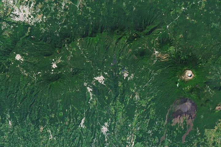
Landsat satellites provide consistent, freely available multispectral imagery essential for monitoring natural and human-induced environmental changes. This long-term data stream supports global research, resource management, and policymaking on critical issues such as agriculture, forestry, urban development, and disaster response.
Landsat 10’s updated design will enhance data quality and reliability, helping maintain the U.S.’s leadership in Earth observation and responding to increasing global demands for accurate environmental monitoring.
Background
The Landsat program is the longest-running enterprise for satellite-based Earth observation, jointly managed by NASA and USGS since its inception in the early 1970s. The program has continuously provided multispectral imagery that tracks land cover changes globally.
Landsats 8 and 9, launched in 2013 and 2021 respectively, represent the current generation, offering improvements in spectral resolution and data continuity. Landsat 10 represents the next evolution, redesigned as a single observatory to maintain and enhance this vital data stream for the coming decades.
Sources
This article is based on reporting and publicly available information from the following source:
Read more Space & NASA stories on Goka World News.