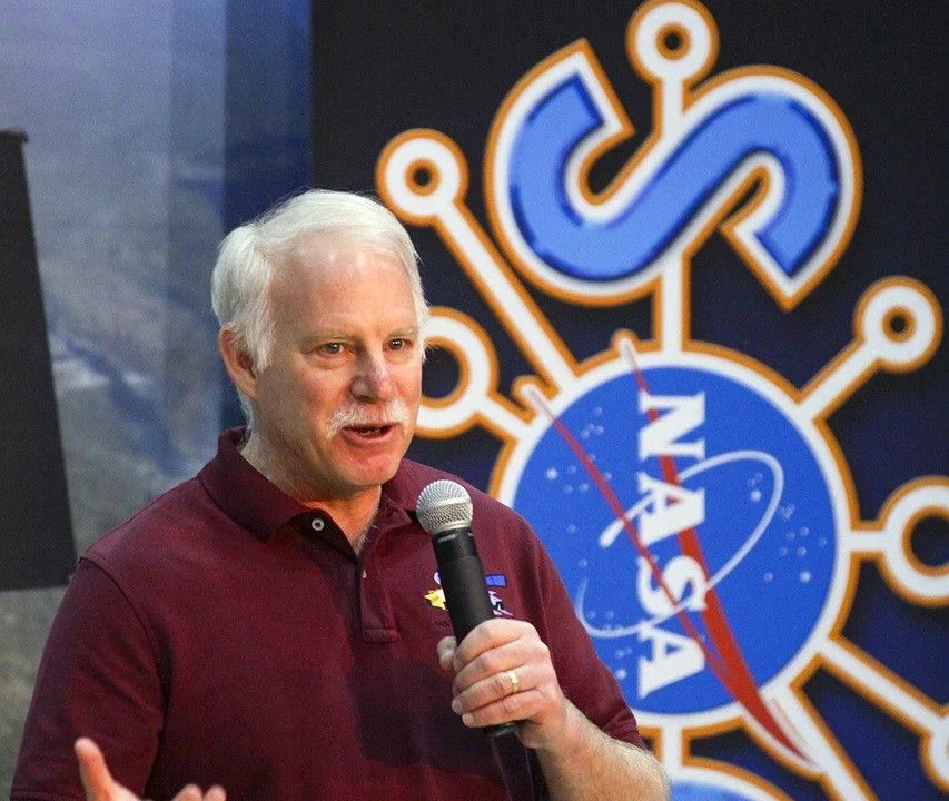
Jim Irons, an emeritus scientist at NASA’s Goddard Space Flight Center, has been honored with the prestigious William T. Pecora Award in recognition of his vital contributions to the Landsat program. Irons played a significant role as both deputy project scientist for Landsat 7 and project scientist for Landsat 8, championing the program’s mission to provide consistent and calibrated Earth observation data for scientific research worldwide.
What Happened
Last month, Jim Irons received the William T. Pecora Award, a distinguished accolade named after the pioneer of Earth observation satellites. Throughout his career, Irons was instrumental in shaping Landsat’s mission continuity efforts, overseeing launch and operational phases, and ensuring that the program maintained its crucial datasets, particularly advocating for the inclusion of thermal imaging instruments on Landsat 8 and 9.
Key Facts
- Irons served as deputy project scientist for Landsat 7 and project scientist for Landsat 8.
- He emphasized rigorous calibration standards to maintain data continuity across Landsat missions.
- Irons was a strong advocate for retaining thermal sensors, critical for applications such as evapotranspiration monitoring.
- He also directed NASA Goddard’s Earth Science Division during the early COVID-19 pandemic, supporting uninterrupted scientific operations.
- The Pecora Award recognizes exceptional contributions to Earth observation and remote sensing.
Why It Matters
Landsat’s long-term, calibrated data record is a cornerstone for monitoring multi-decadal environmental changes, including climate change impacts and land surface transformations. Irons’ leadership ensured that the data remains reliable and comparable across different satellite generations, which is essential for researchers studying phenomena such as water use, agriculture, and natural resource management.
Background
The Landsat program, operating since the 1970s, provides continuous satellite imagery of Earth’s surface, vital for Earth science and environmental monitoring. Maintaining data consistency across mission generations requires persistent calibration efforts. Irons advocated for calibration systems, including ground-based components and specialized software developed by USGS collaborators.
Analysis
Irons’ insistence on preserving the thermal band on Landsat 8 was initially challenged due to budget and schedule constraints but ultimately proved crucial for emerging applications in water resource management. His collaboration across NASA, USGS, and private industry stabilized Landsat 8’s success after earlier hurdles involving attempts at commercial data acquisition and unsuitable satellite platforms.
Who Is Affected
Landsat data users worldwide—including scientists, policymakers, agricultural managers, and environmental monitors—benefit from the continuity and quality enforced by Irons. The data supports decisions related to climate adaptation, water rights, fire management, and ecological conservation.
Reactions / Official Statements
Irons expressed humility about receiving the Pecora Award, noting past recipients included his mentors and emphasizing the abundance of deserving contributors in Earth observation. NASA Goddard and USGS colleagues acknowledge his enduring legacy of collaboration, innovation, and leadership.
What Remains Unclear
This information was not confirmed in the reviewed sources.
What Comes Next
Emerging uses of Landsat data include integration with ESA’s Sentinel-2 mission and advanced remote sensing technologies for 3D mapping, water quality assessment, and monitoring of glacial changes. The scientific community continues to seek more frequent and precise observations, especially thermal data, to enhance understanding of environmental dynamics.
Sources
This article is based on reporting and publicly available information from the following source:
Read more Space & NASA stories on Goka World News.